Powerline Vegetation Management
Project Background
Overgrown vegetation near overhead powerlines presents a serious fire hazard, especially in bushfire-prone regions. Dry vegetation—such as grass, shrubs, and overhanging branches—can ignite from arcing, electrical faults, or high winds, rapidly escalating into dangerous wildfires. These conditions not only endanger lives and property but also jeopardise energy security.
Beyond the fire risk, vegetation encroachment compromises legal and regulatory compliance. Failure to meet mandated clearance distances exposes asset owners to service interruptions, fines, and reputational risk. Furthermore, unmanaged corridors hinder operational access during emergencies, increasing response times and overall vulnerability.
Addressing this risk requires a structured, preventative vegetation management strategy that not only meets compliance thresholds but also safeguards public safety and infrastructure reliability.
Objective
To proactively manage vegetation beneath overhead powerlines in designated high-risk fire zones, ensuring compliance with national vegetation clearance standards while reducing the risk of bushfires. This work was essential to protecting critical infrastructure, maintaining uninterrupted energy distribution, and supporting rapid access for maintenance and emergency crews
Through early intervention and strategic vegetation clearance, the project aimed to eliminate hazardous fuel loads and contribute to broader landscape-scale fire preparedness. The ultimate goal was to keep the power distribution network resilient, operational, and safe during peak fire seasons and extreme weather events.
Our Approach
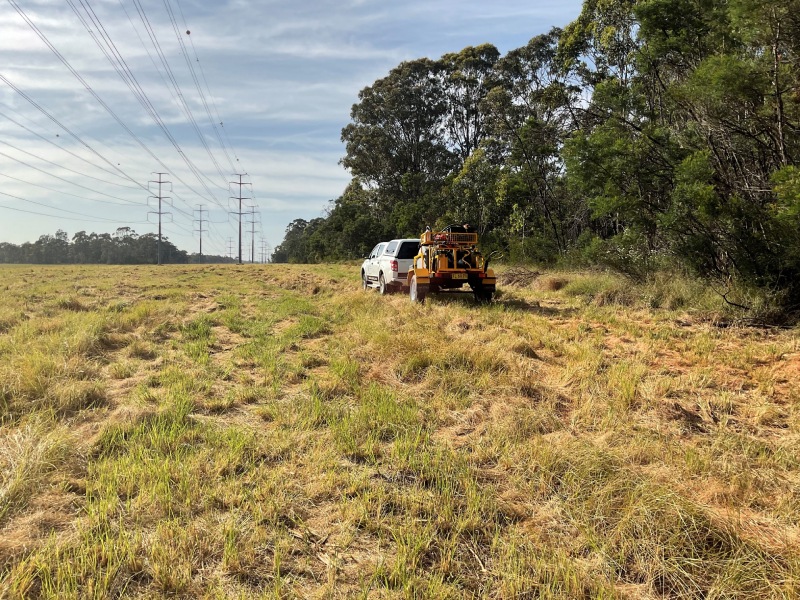
We implemented a two-phase vegetation management program that balanced safety, efficiency, and environmental responsibility. The initial phase involved mechanical removal of dense vegetation using slashing tractors and high-capacity mowers to rapidly clear beneath and around overhead infrastructure. This step re-established safe clearance distances in accordance with utility regulations and significantly reduced flammable biomass.
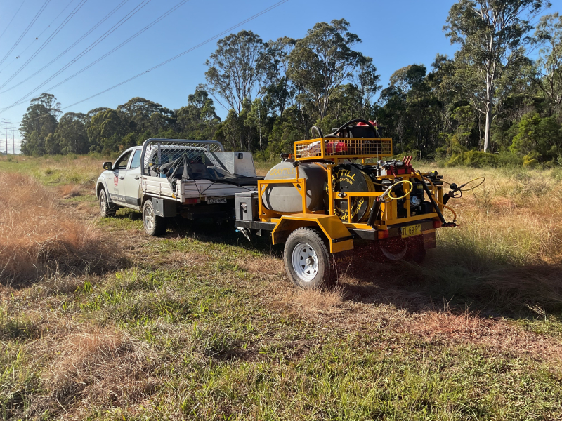
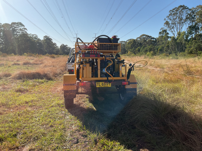
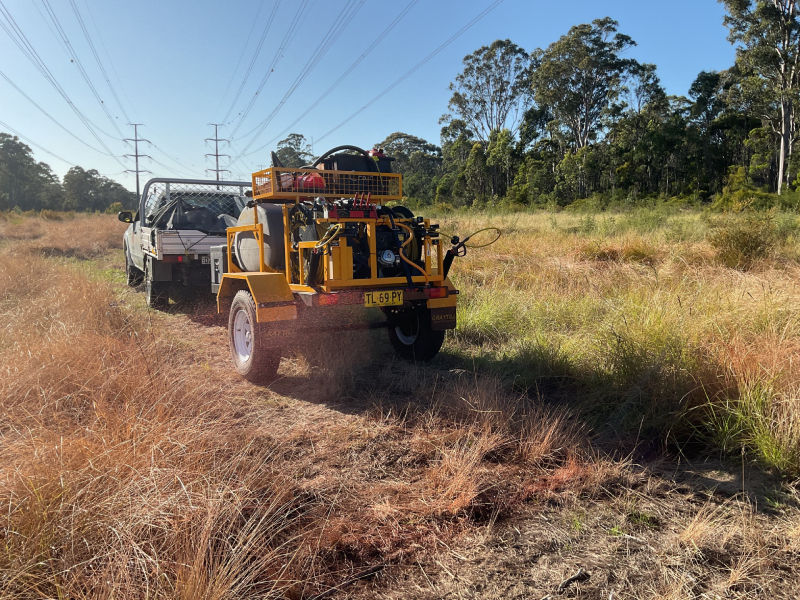
The second phase focused on targeted herbicide application using Graytill spray units equipped with both boom and high-volume capabilities. This allowed for precise treatment of residual growth in challenging terrain, while minimising chemical drift and protecting adjacent native vegetation.
All work was tracked using GIS-enabled field mapping technology, which allowed real-time documentation of treated areas, identification of sensitive or inaccessible zones, and generation of digital reports for audit and compliance purposes. This integration of field data improved transparency, informed decision-making, and delivered operational efficiency for the client.
Project Photos